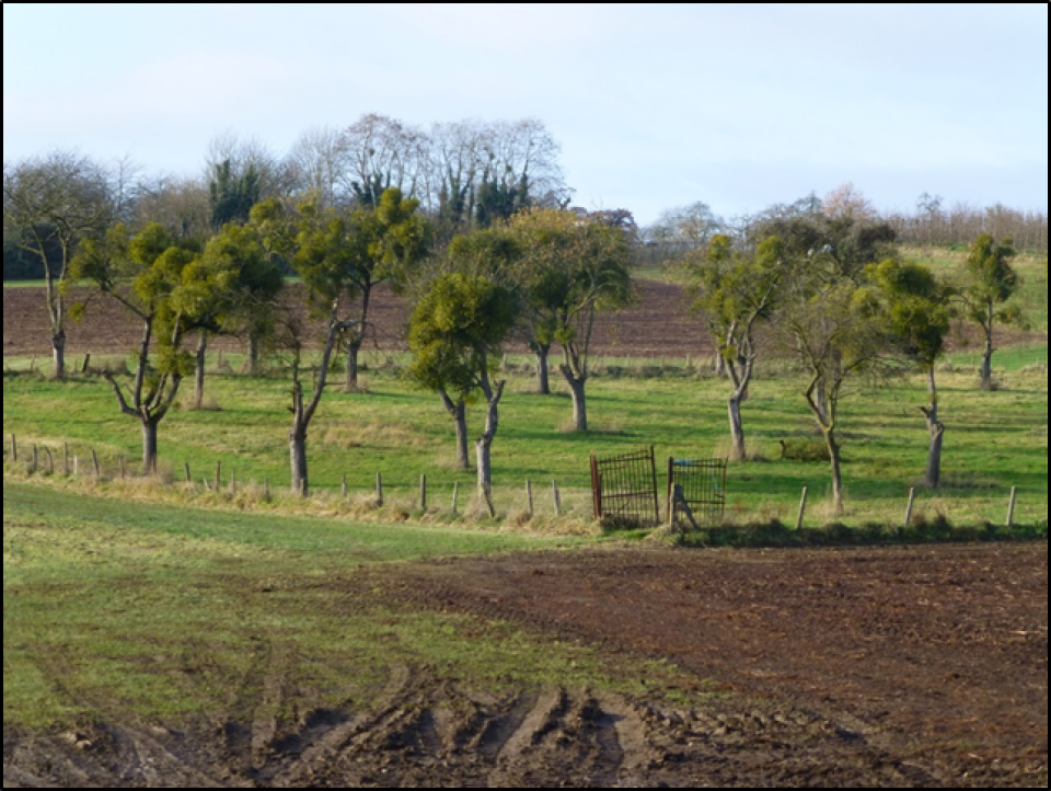
The total project area is 2170 ha and it is located in the province of Limburg (Belgium). The most dominant uses are: agriculture and "others" (57%), half-natural grassland (21%), and forest (10%). The landscape is open and gently undulating. The villages are traditionally farming communities, but there is an increasing number of people who live there and whose income does not depend on agriculture. There is also immigration of people who choose to live there for the quietness and landscape beauty. Tourism and recreation are growing sectors.
Enabling more rational farm management and planning space for green corridors in the agricultural land, together with all relevant stakeholders at landscape level. The context of this case study is explained by a short YouTube clip: http://youtu.be/sD0gVUmmwnE
The expectation is that the green areas deliver several benefits: additional agro-biodiversity, social benefits (such as recreation and tourism), economic benefits (alternative income opportunities for farmers) and additional value from products derived from the maintenance of the natural elements. The fact that the plan is built with the active cooperation of local stakeholders is expected to result in more public support and more sustainable maintenance.
The results will be relevant for the organisation and management of multifunctional agricultural landscapes, which face demands from diverse stakeholders.
Although most people have a dominant stake in the area, all interviewed people recognized the necessity of multiple landscape functions. In most cases these functions can be combined, but some uses can result in trade-offs. The identification of these trade-offs can support better landscape planning and help to avoid possible conflicts.~
